KomPass: Article from 28.11.2023 | Last changed: 18.11.2025
Search
13 - 24 of 142
-
-
KomPass: Area of action adaptation from 15.07.2022 | Last changed: 08.01.2026
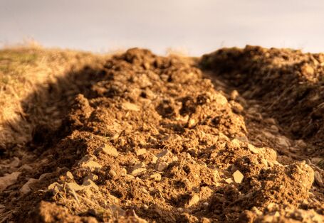
Adaptation: Field of Action Agriculture
 … to the increasing heat stress in the summer months, early cereal varieties can be used, although negative effects on grain yields are to be expected due to the lower … suitable are certain varieties of corn, millet and other warmth-loving species that use water effectively. For example, the cultivation of soybeans has expanded …
 -
KomPass: Area of action adaptation from 15.07.2022 | Last changed: 17.12.2025
Adaptation: Field of Action Soils
 … tillage preserves the natural soil structure and reduces the risk of erosion. The use of heavy vehicles and machines can lead to soil compaction and thus limit the … the load-bearing capacity of the soils is less stressed. This can be achieved by using wide tyres with low internal tyre pressure and a large contact area or by … abandoning particularly endangered areas in favour of other, less erosion-sensitive uses (e.g. establishment of permanent grassland, forest or woodland areas). Erosion …
 -
KomPass: Article from 28.11.2023 | Last changed: 18.11.2025
Effects chain – Example presentation from the ‘trade and industry’ action
… 2018 have massive ecological impacts. In order to protect watercourses, any water use in trade and industry for production or cooling purposes is subject to an … to increase resilience and to reduce dependence on water resources. In order to use as little water as possible in terms of raw or processing material, and in order … of their environmental management – embracing an in-house water management system, using water in a circulatory system, employing water-saving technologies or using … -
KomPass: Article from 28.11.2023 | Last changed: 18.12.2024
RO-R-2: Priority and reserved areas groundwater / drinking water
 … and reserved areas groundwater / drinking water Spatial planning tools ensure land use that protects drinking water and groundwater. Source: Visions-AD / … necessary to pay much more attention to water resources in our country. This is because the groundwater recharge rate has been in decline. In fact, it was particularly … temperature conditions also affect the quantity and quality of any surface water used for the abstraction of drinking water (cf. Indicators WW-I-3 , WW-I-7 ). …
 -
KomPass: Article from 28.11.2023 | Last changed: 18.12.2024
RO-R-5: Increase in settlement and transport areas
 … value of this figure, it can be stated with certainty that this increase in land use clearly exceeds national objectives. In other words, there is more left to do in … generation of energy. The designation of priority and restricted areas is a tool used by spatial planning in order to guide the development of land use including the …
 -
KomPass: Article from 28.11.2023 | Last changed: 18.12.2024
HUE-2: Usage of warning and information services
 … than half of respondents to the Environment Awareness Study stated that they were using warning and information services from the Federal or Länder governments. … surveys. Nevertheless: The proportion of those respondents who were not yet making use of these services but intended to do so in future, was much higher than recorded … informing – an important task at Federal level Warning and information services are used at Federal level as a key tool to deal with climate change, to inform the …
 -
KomPass: Article from 28.11.2023 | Last changed: 18.11.2025
LW-R-4: Cultivation of thermophilic crops
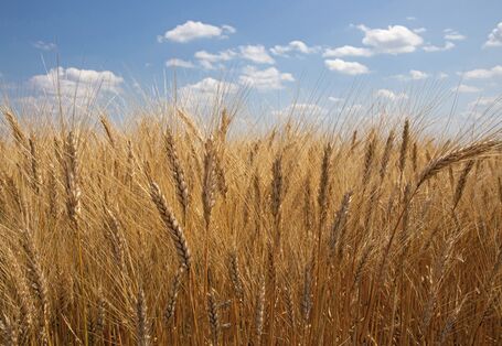 … on 28.11.2023 LW-R-4: Cultivation of thermophilic crops The cultivation areas used for growing the thermophilic crops of soy and durum wheat are on the increase. … Maize is a crop that has been cultivated in Germany for a long time. Contrary to using the whole plant as silage maize for animal fodder and energy generation, grain …
 -
KomPass: Article from 28.11.2023 | Last changed: 12.12.2024
LW-R-6: Agricultural irrigation
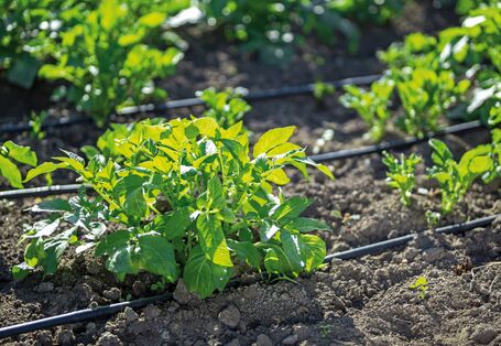 … In many regions, marketable qualities and stable yields can only be achieved by using additional irrigation of fields in need of water. Two adverse climatic trends … any cultivation areas under high, walkable protective covers, such as greenhouses. With almost 55 %, Lower Saxony is the state with the highest proportion of … areas in Germany. In the district of Uelzen more than 20 % of arable land is used for the cultivation of potatoes. The soils are sandy and therefore have very …
 -
KomPass: Area of action adaptation from 11.01.2022 | Last changed: 08.01.2026
Adaptation: Field of Action Energy Sector
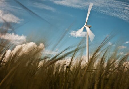 … amendment of the Atomic Energy Act in 2011 and the Coal Phase-out Act in 2020, the use of nuclear energy for energy generation will end in 2022, and that of hard coal … reduce the water demand of thermal power plants. In addition to the increasing use of water-saving technologies, the technical optimisation of thermal power plants … role in water efficiency. In the past decades, the efficiency of power plants using fossil fuels could be increased considerably. As a result of these …
 -
KomPass: Article from 28.11.2023 | Last changed: 18.12.2024
RO-R-4: Priority and restricted areas reserved for special climate function
 … areas reserved for special climate functions constitute a fairly new tool used in spatial planning. This is why this area category has so far been applied in … as an integral part of such plans. Another reason is that regional planning also uses other spatial planning tools for the protection of open spaces, such as …
 -
KomPass: Area of action adaptation from 11.01.2022 | Last changed: 08.01.2026
Adaptation: Water Resources, Water Management, Coastal and Marine Protection
 … manifold effects of climate change on the water balance, the efficiency of water use as well as flood and coastal protection must be adapted. In addition, an … points are, for example, the sprinkling of agricultural areas or the increased use of greywater or rainwater wherever the type of use allows. Groundwater … consumption can also be reduced through higher water extraction fees for water-using industries with high environmental impacts, such as agriculture and mining, as …


